Exhibit of Early Printed Maps opens at the Museum
---Joshua Howard, Curatorial Volunteer
---John Pentangelo, Curator/Registrar
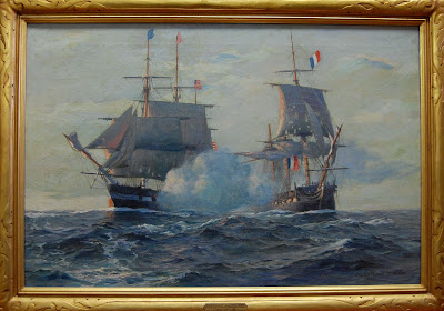
The Naval War College Museum is pleased to announce the exhibition, Envisioning the World: The First Printed Maps, 1472-1700. The exhibition features thirty maps of the world including the first known world map ever printed: a "T and O" style map produced by Saint Isidore, Bishop of Seville in the seventh century and printed in 1472. Also on display are a 1504 map of the world referencing the discoveries of Christopher Columbus and a map from the first modern atlas printed in 1570. The exhibit of maps from the collection of Henry Wendt is managed by the Sonoma County Museum and will appear next at the Columbia River Maritime Museum in Astoria, Oregon. Two maps from the Naval War College Library and Museum collections will also be on display. Please click here for more information and to learn more about the maps featured in this exhibit.
The exhibit opens 1 July and closes 30 November 2011. Admission is free. The museum is open 10 A.M. to 4:30 P.M., Mondays through Fridays throughout the year, and 12 noon-4:30 P.M. on weekends during June through September. Public access to the Museum with personal vehicle is through Gate 1 of U.S. Naval Station, Newport. For reservations please call (401) 841-4052 at least one working day in advance. Reservations and photo identification are necessary for entry onto the Naval Station.
---John Pentangelo, Curator/Registrar
The Naval War College Museum is pleased to announce the exhibition, Envisioning the World: The First Printed Maps, 1472-1700. The exhibition features thirty maps of the world including the first known world map ever printed: a "T and O" style map produced by Saint Isidore, Bishop of Seville in the seventh century and printed in 1472. Also on display are a 1504 map of the world referencing the discoveries of Christopher Columbus and a map from the first modern atlas printed in 1570. The exhibit of maps from the collection of Henry Wendt is managed by the Sonoma County Museum and will appear next at the Columbia River Maritime Museum in Astoria, Oregon. Two maps from the Naval War College Library and Museum collections will also be on display. Please click here for more information and to learn more about the maps featured in this exhibit.
 |
| Claudius Ptolemy, Untitled Map of the World, printed 1482. Courtesy of Mr. Henry Wendt |
Comments
Post a Comment